Reisgids Cape Verde Islands – Kaapverdische Eilanden | Bradt Travel Guides
Als er geen Lonely Planet is, is dit het alternatief ... En vaak nog beter ook. De beste gids over de Kaapverdische eilanden met alle mogelijke informatie, zowel praktisch (eten, slapen, reizen) als achtergronden over cultuur, landschap en bevolking.
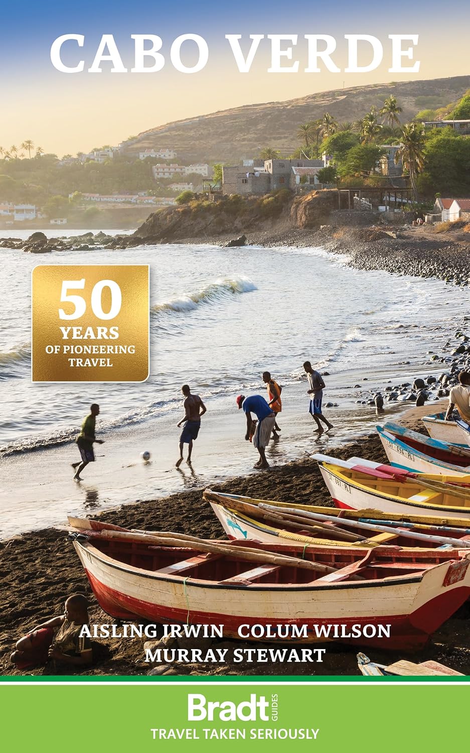
The new, thoroughly updated eighth edition of Bradt’s Cape Verde (Cabo Verde) remains the most detailed and extensive English-language guidebook available to this alluring Atlantic archipelago, described by some as ‘Africa light’. Stable and peaceful, quietly isolated by its mid-Atlantic location, malaria-free, and with year-round sun, Cabo Verde’s appeal to independent travellers is a natural one – with its unique island geography making it somewhat of an adventure to navigate beyond the more conventional single-island visit of the increasing numbers of package tourists.
The archipelago is diverse, particularly in terms of its tourist infrastructure. Sal and Boavista, the oldest of these volcanic islands, boast white-sand beaches that rival those anywhere in the world, and are complemented by dream windsurfing and kitesurfing opportunities, courtesy of strong breezes and powerful Atlantic waves. Consequently, these two islands attract 95% of Cape Verde’s visitors, leaving the other seven inhabited islands undeveloped – and awaiting discovery.
Hikers, music-fans and those curious to experience something more authentically Cabo Verdean are drawn to these seven islands. Lace up your walking boots to trek amid the jaw-dropping mountainous landscapes of Fogo or Santo Antão. Or take time out in tiny Brava or mellow Maio. Or let your internal culture-vulture revel in the fusion of African, Portuguese and Brazilian influences that courses through the cities of Praia and Mindelo, with their constant backdrop of seductive music (or February’s raucous carnival!) – the aural thread that ties together these islands scattered across the mid-Atlantic.
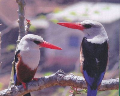
Although Sal and Boa Vista’s all-inclusives dominate the tourist market, they are increasingly joined by small, independently owned eco-lodges across all islands, complemented by an upswing in the quality and accessibility of traditional pensão and homestays. Throw in coffee and wine, and an authentic culture of organic food, and you have a recipe for well-catered relaxation. So whether you are an Africa afficionado or an ecotourist looking for nesting loggerhead turtles and unusual birds, a digital nomad enticed by long-stay visas or a member of the USA’s sizeable Cape Verdean diaspora, Bradt’s Cape Verde provides the perfect guide to getting the most out of these unexpectedly rewarding islands.
Reisgids Cape Verde Islands – Kaapverdische Eilanden | Bradt Travel Guides

Vlucht inclusief

Vertrek luchthaven

All-inclusive
Als er geen Lonely Planet is, is dit het alternatief … En vaak nog beter ook. De beste gids over de Kaapverdische eilanden met alle mogelijke informatie, zowel praktisch (eten, slapen, reizen) als achtergronden over cultuur, landschap en bevolking.
The new, thoroughly updated eighth edition of Bradt’s Cape Verde (Cabo Verde) remains the most detailed and extensive English-language guidebook available to this alluring Atlantic archipelago, described by some as ‘Africa light’. Stable and peaceful, quietly isolated by its mid-Atlantic location, malaria-free, and with year-round sun, Cabo Verde’s appeal to independent travellers is a natural one – with its unique island geography making it somewhat of an adventure to navigate beyond the more conventional single-island visit of the increasing numbers of package tourists.
The archipelago is diverse, particularly in terms of its tourist infrastructure. Sal and Boavista, the oldest of these volcanic islands, boast white-sand beaches that rival those anywhere in the world, and are complemented by dream windsurfing and kitesurfing opportunities, courtesy of strong breezes and powerful Atlantic waves. Consequently, these two islands attract 95% of Cape Verde’s visitors, leaving the other seven inhabited islands undeveloped – and awaiting discovery.
Hikers, music-fans and those curious to experience something more authentically Cabo Verdean are drawn to these seven islands. Lace up your walking boots to trek amid the jaw-dropping mountainous landscapes of Fogo or Santo Antão. Or take time out in tiny Brava or mellow Maio. Or let your internal culture-vulture revel in the fusion of African, Portuguese and Brazilian influences that courses through the cities of Praia and Mindelo, with their constant backdrop of seductive music (or February’s raucous carnival!) – the aural thread that ties together these islands scattered across the mid-Atlantic.
Although Sal and Boa Vista’s all-inclusives dominate the tourist market, they are increasingly joined by small, independently owned eco-lodges across all islands, complemented by an upswing in the quality and accessibility of traditional pensão and homestays. Throw in coffee and wine, and an authentic culture of organic food, and you have a recipe for well-catered relaxation. So whether you are an Africa afficionado or an ecotourist looking for nesting loggerhead turtles and unusual birds, a digital nomad enticed by long-stay visas or a member of the USA’s sizeable Cape Verdean diaspora, Bradt’s Cape Verde provides the perfect guide to getting the most out of these unexpectedly rewarding islands.
Prijzen kunnen per datum verschillen
Vergelijkbare Resorts
Clear Filters
Wandelkaart Santiago – Kaapverdische Eilanden | AB Kartenverlag
Santiago Island in the Cape Verde archipelago on a detailed, GPS compatible map at 1:50,000 from AB Kartenverlag, highlighting 33 hiking and mountain bike routes and including small plans of Praia, Tarrafal and Cidade Velha.
The map is double-sided with a very generous overlap between the sides. Contours with relief shading and spot heights present the topography. The map shows the network of local roads, tracks and footpaths. Symbols indicate locations of viewpoints, diving sites and medical facilities.
33 selected walks, from one to five hours long, are highlighted on the map and listed in a table with details of the terrain, altitude, degree of difficulty and suitability as mountain bike routes. Map legend and all the accompanying text include English.
Also included are small plans of Praia, Tarrafal and Cidade Velha, indicating main facilities.
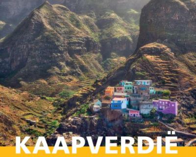
Reisgids Reishandboek Kaapverdië | Arko Sports Media BV
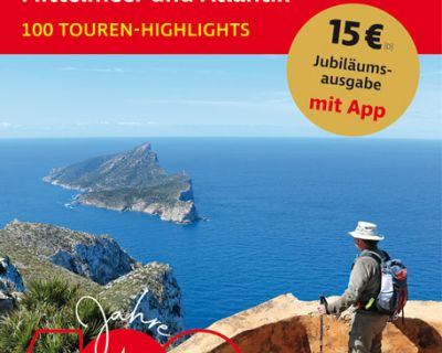
Wandelgids Sonnenziele – Mittelmeer und Atlantik | Rother Bergverlag
Ter ere van het 100 jarig jubileum van uitgever Rother geven ze een prachtig boek uit met een selectie van de mooiste wandelingen.
Wandern in den Bergen, logieren am Meer! Von den Azoren bis Israel und von den Kapverden bis Kreta umspannt der Rother Jubiläums-Wanderführer Sonnenziele ein riesiges Gebiet rund um Mittelmeer und Atlantik mit einer Vielzahl abwechslungsreicher Wandermöglichkeiten.
Das verbindende Element der meisten »Sonnenziele« ist das milde Klima. Das Meer ist nie allzu weit, Wander- und Badeurlaub lassen sich dadurch perfekt verbinden. Mal geht es mit weitem Blick an der Küste entlang zu wunderschönen Buchten, mal durch wilde Schluchten oder hoch hinaus auf tolle Aussichtsberge, durch malerische Dörfer oder zu alten Klöstern und Burgen.
Zu den Klassikern gehören auch Wanderregionen im Hinterland der Küste, etwa in der Provence, der Toskana oder in den Pyrenäen. Spannend und als Wanderländer kaum bekannt sind Länder wie Montenegro, Albanien oder Israel, die im Jubiläums-Wanderführer Sonnenziele ebenfalls mit attraktiven Touren vertreten sind. Mit diesen 100 Wanderungen lassen sich die schönsten Regionen rund um Mittelmeer und Atlantik entdecken!
Jeder Tourenvorschlag enthält eine ausführliche Routenbeschreibung, einen detaillierten Kartenausschnitt mit eingezeichnetem Wegverlauf und ein aussagekräftiges Höhenprofil. Eine übersichtliche Kurzinfo informiert bei jeder Tour über die Anforderungen, den Ausgangspunkt, Einkehrmöglichkeiten, Varianten und vieles mehr. GPS-Tracks stehen zum Download bereit.
Zu seinem 100-jährigen Bestehen hat sich der Rother Bergverlag etwas Besonderes einfallen lassen: Die Rother Jubiläums-Wanderführer. In drei Bänden – Deutschland, Alpen und Sonnenziele am Mittelmeer und Atlantik – präsentieren Rother-Autoren ihre jeweils 100 Lieblingstouren. Zum feierlichen Anlass erscheinen die Sondereditionen nicht im gewohnten kleinen Format der roten Wanderführer, sondern in Jubiläumsgröße – zum Blättern, Lesen und Schwelgen in neuen Ideen. Als besonderes Extra gibt es die Touren kostenlos in der Rother Touren App.