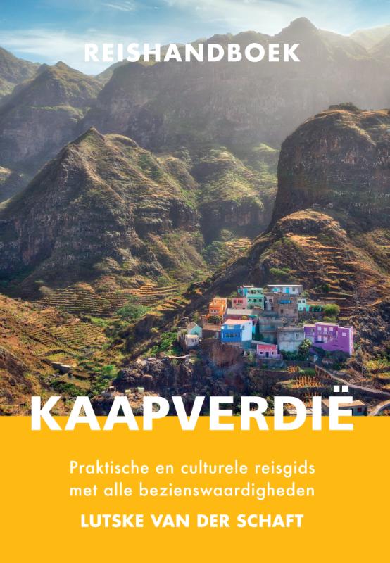
Reisgids Reishandboek Kaapverdië | Arko Sports Media BV


Op de voorzijde een gedetailleerde kaart van de Kaapverdische eilanden, alle eilanden op een schaal van ongeveer 1: 200.000, deze varieert enigzins per eiland.
De achterkant geeft een overzichtskaart van West Afrika op schaal 1:3.400.000 van Mauretanie in het westen tot en met Benin in het oosten.
This map of Cape Verde features the usual care and attention to detail that ITMB put into all their maps. With over 300 maps of international travel destinations now available, ITMB are rightly recognized as one of the Worlds leading travel publishers.
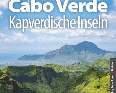
Uitstekende – meest uitgebreide – reisgids van de Kaapverdische Eilanden. Hoge kwaliteit, veel kaartjes en praktische informatie. Duits, 612 (!) bladzijden.

Duitstalige wandelgids van Santo Antao = Sao Vicente – Sao Niclau met zeer goed beschreven wandelingen in de wandelgebieden. Redelijk kaartmateriaal, vooral de beschrijving van de route en de praktische info die er bij hoort is goed.