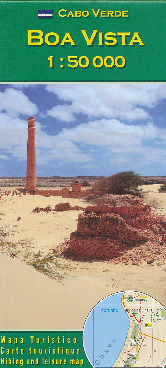
Wandelkaart Boa Vista – Kaapverdische Eilanden | AB Karten-Verlag | AB Kartenverlag


Topografische wandelkaart voor de Kaapverdische Eilanden Fogo en Brava. Met hoogtelijnenafstand van 50 meter. Legenda en tekst in het Duits, Engels, Italiaans en Portugees. Met stranden en duikplaatsen.
Als er geen Lonely Planet is, is dit het alternatief … En vaak nog beter ook. De beste gids over de Kaapverdische eilanden met alle mogelijke informatie, zowel praktisch (eten, slapen, reizen) als achtergronden over cultuur, landschap en bevolking.

Uitstekende kaart van alle Kaapverdische eilanden met sommigen op een zodanige schaal dat er ook mee gewandeld kan worden.
Cape Verde Islands on a large double-sided map from Freytag & Berndt, with the larger islands shown both individually and in groups with the surrounding islands, all presented at a convenient scales and with tourist information.
Relief shading and spot heights indicate the topography, with roads clearly marked and icons highlighting main ports, ferries, archaeological sights and other places of interest. A general map of the whole Cape Verde archipelago shows frequency of ferry connections between various islands. Latitude and longitude lines are shown on all island maps. Multilingual map legend includes English.
Larger islands at 1:80,000
Fogo; Santiago; Santo Antão; Sao Nicolau; São Vicente; Brava (at 1;30,000).
Maps of groups at 1:150,000:
Boavista and Sal; Santo Antão, Sao Vicente, Santa Luzia, Ilheu Braco, Ilheu Razo, and São Nicolau; Santiago and Maio; Fogo and Brava.