Wegenkaart – landkaart Kaapverdische Eilanden – Cabo Verde | Freytag & Berndt
Uitstekende kaart van alle Kaapverdische eilanden met sommigen op een zodanige schaal dat er ook mee gewandeld kan worden.
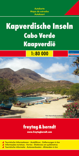
Cape Verde Islands on a large double-sided map from Freytag & Berndt, with the larger islands shown both individually and in groups with the surrounding islands, all presented at a convenient scales and with tourist information.
Relief shading and spot heights indicate the topography, with roads clearly marked and icons highlighting main ports, ferries, archaeological sights and other places of interest. A general map of the whole Cape Verde archipelago shows frequency of ferry connections between various islands. Latitude and longitude lines are shown on all island maps. Multilingual map legend includes English.
Larger islands at 1:80,000
Fogo; Santiago; Santo Antão; Sao Nicolau; São Vicente; Brava (at 1;30,000).
Maps of groups at 1:150,000:
Boavista and Sal; Santo Antão, Sao Vicente, Santa Luzia, Ilheu Braco, Ilheu Razo, and São Nicolau; Santiago and Maio; Fogo and Brava.


Uitstekende kaart van alle Kaapverdische eilanden met sommigen op een zodanige schaal dat er ook mee gewandeld kan worden.
Cape Verde Islands on a large double-sided map from Freytag & Berndt, with the larger islands shown both individually and in groups with the surrounding islands, all presented at a convenient scales and with tourist information.
Relief shading and spot heights indicate the topography, with roads clearly marked and icons highlighting main ports, ferries, archaeological sights and other places of interest. A general map of the whole Cape Verde archipelago shows frequency of ferry connections between various islands. Latitude and longitude lines are shown on all island maps. Multilingual map legend includes English.
Larger islands at 1:80,000
Fogo; Santiago; Santo Antão; Sao Nicolau; São Vicente; Brava (at 1;30,000).
Maps of groups at 1:150,000:
Boavista and Sal; Santo Antão, Sao Vicente, Santa Luzia, Ilheu Braco, Ilheu Razo, and São Nicolau; Santiago and Maio; Fogo and Brava.

Duitstalige wandelgids van Santo Antao = Sao Vicente – Sao Niclau met zeer goed beschreven wandelingen in de wandelgebieden. Redelijk kaartmateriaal, vooral de beschrijving van de route en de praktische info die er bij hoort is goed.

Topografische wandelkaart voor de Kaapverdische Eilanden São Vicente en Mindelo. Met hoogtelijnenafstand van 50 meter. Legenda en tekst in het Duits, Engels, Italiaans en Portugees. Met stranden en duikplaatsen.
São Vicente 1:35.000
Mindelo 1:7.500

Marco Polo reisgids voor de Kaapverdische Eilanden! Handig pocket formaat, boordevol informatie, met uitneembare kaart Met ‘insider tips’ om deze eilanden écht te ontdekken, de TOP 15 van bezienswaardigheden in één oogopslag, up-to-date informatie in overzichtelijke hoofdstukken: sightseeing, eten & drinken, winkelen, uitgaan, verblijf, routes & tochten, voor kinderen, feesten, festivals & evenementen, internet tips, praktische info van a tot z, een taalgidsje, plattegronden en straatnamenregister.